


Drone Mapping in Windy Conditions: Best Practices for Efficient Data Collection
Drone Mapping in High Winds: Challenges & Best Practices.

LiDAR Tree Segmentation: Enhancing Forestry Analysis with Drones
LiDAR Tree Segmentation for Forestry: Precision Insights for Smarter Management


Enhancing Coastal Surveys with Advanced Lidar Bathymetry
Discover how bathymetric LiDAR enhances coastal surveys with high-precision underwater mapping. Learn about its benefits for shoreline monitoring and marine studies

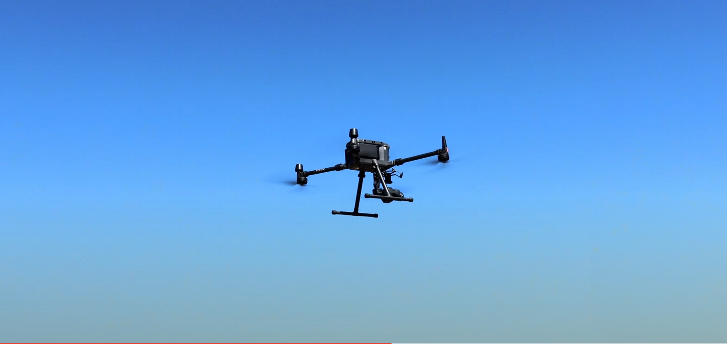
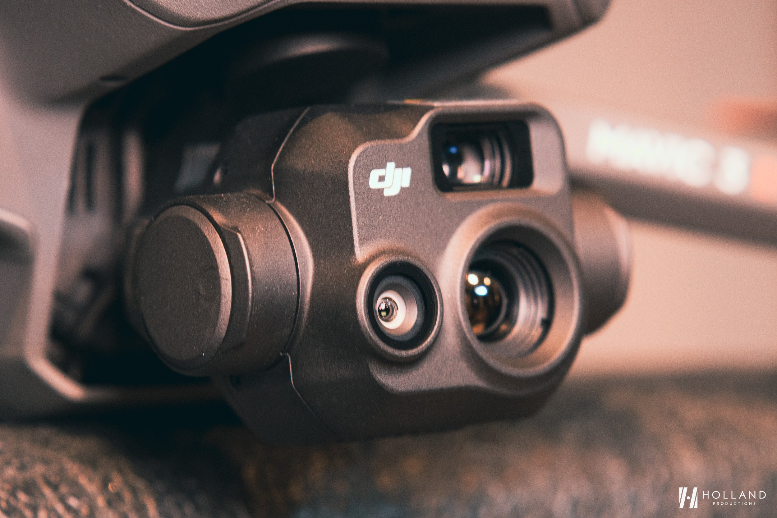
Top Benefits of Using a Drone for Inspection
Discover the top benefits of using drones for inspections, including enhanced safety, efficiency, and cost savings. This article explores how drones equipped with advanced sensors and high-resolution cameras revolutionize data collection, offering unparalleled precision across various industries. Learn about the key features that make inspection drones indispensable, from thermal imaging to LiDAR technology, and get practical tips on preparing for a drone inspection mission. Stay compliant with regulatory requirements and explore future trends like AI and 5G that promise to further transform inspection processes.


How to Switch Storage to the SD Card from the Internal Storage on the DJI RC-2.
How to Switch Storage to SD Card on DJI RC 2 Controller

Pix4D Matic's Enhanced Region of Interest (ROI) Tool with KML Import Feature
Pix4Dmatic's latest version 1.57.0 introduces an exciting feature: importing KML files as Regions of Interest (ROI). This enhancement streamlines project preparation, allowing precise focus on areas critical for analysis, thus optimizing processing times and resources. This blog post will delve into how this feature revolutionizes large-scale mapping projects, offering step-by-step guidance and practical applications to leverage this tool for improved efficiency and accuracy in your photogrammetry workflow. Stay tuned for an in-depth exploration of Pix4Dmatic's capabilities, ensuring you get the most out of your projects

Does Splitting & Merging Pix4Dmatic Projects Improve Speed?
Discover the impact of splitting and merging projects in Pix4D Matic on processing times with our in-depth analysis. Using a dataset of 7571 45MP images from a DJI Zenmuse P1 camera, we compare the efficiency of processing a massive project as a whole versus dividing it into smaller chunks. Learn whether this method saves time and the best practices for managing large-scale photogrammetry projects. Our findings offer valuable insights for professionals looking to optimize their workflow in Pix4D Matic
How to Get a Drone License in Canada
Are you looking to obtain your Small Advanced Drone Certification in Canada? We outline the steps required that RPAS pilots must take to get themselves to the Flight Review. We recommend SkyLens Studios as qualified Flight Reviewer whom you can book your flight review with direct.


Is the DJI RC Pro Compatible with the Air 3? What You Need to Know
Will the DJI RC Pro work with the DJI Air 3?
Tips for Protecting Your Mavic 3T Thermal Camera
Tips for Protecting Your Mavic 3T Thermal Camera.

How to take a Screenshot on the DJI RC Pro and Pilot 2 App.
A quick guide on how to do a screenshot on the DJI RC Pro and DJI RC Pro Enterprise controller with the DJI Pilot 2 App.

Holland Productions Makes Top 20 List of Canadian Drone Blogs and Websites for 2023 on Feedspot.
Holland Productions has made the unsolicited 2023 FeedSpot’s Top 20 list for Canadian Drone Blogs and Website.

Lithium Battery Safety for Drone Owners and Operators: Essential Guidelines and Best Practices.
Lithium Battery Safety for Drone Owners and Operators: Essential Guidelines and Best Practices.