Drone Photography
Our team provides professional aerial images for marketing, real estate, tracking construction progress, and drone mapping.
We can help you take clear real estate photos, track construction progress, or create accurate maps. Our team is ready to assist you with your needs. We use our experience and advanced drone technology to take high-quality photos and videos that meet your requirements.
We use the best equipment and aim to help you reach your goals, no matter your project.
We at Holland Productions offer drone photography services. Our services are simple, efficient, and customized to meet your needs. We take pride in providing these services.

Aerial Drone Photography Benefits
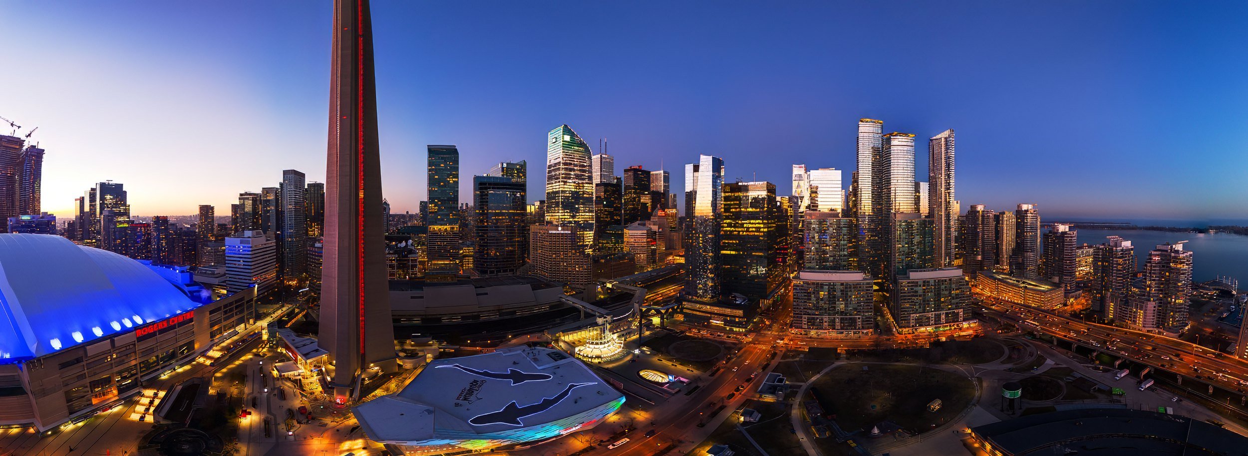
Unique Perspective: Drone photography offers aerial views that provide a fresh, unique angle that traditional photography can’t achieve. This is crucial for projects related to real estate, construction, and mapping. It is important to capture the entire site for these projects.
We use advanced technology and high-quality equipment for drone photography. Our services deliver clear images and videos. These are perfect for commercial real estate and monitoring construction sites.
Comprehensive Coverage: Drone aerial photography efficiently covers large areas or events, ensuring that no detail misses attention. Our drones can provide a full view of a property or document a construction project in detail. They can give you the coverage you need.
Our drone photography saves time by covering large areas quickly. This makes it an excellent option for construction, real estate, and mapping projects.
Drone photography enhances projects by highlighting architectural features and capturing construction progress, providing a unique way to tell stories visually and creatively.
Services Offered
Real Estate Drone Photography
Our drone photography services provide comprehensive views of properties, showcasing layouts, surroundings, and unique features from an aerial perspective. If you're selling homes or commercial property, our aerial photos show the best features to attract buyers.
Commercial and Industrial Drone Photography
Capture the scale and scope of your operations with commercial drone photography. Our drone aerial photography services capture detailed images of construction progress and industrial facilities, essential for project management, marketing, and stakeholder presentations.
Construction Drone Photography
Monitor every phase of your construction project with our drone photography. We provide detailed aerial views to track progress, spot problems, and give useful information for project planning and safety. Our construction drone photography services are an essential tool for keeping your project on track.
Mapping and Surveying Photography
Our drone aerial photography services are perfect for mapping and surveying large areas with unmatched accuracy and efficiency. Using state-of-the-art drone technology, we create detailed maps and land surveys, as well as conduct thorough site assessments. Our expertise ensures that you get the critical information needed to make well-informed decisions, with the drones serving as powerful tools in our hands to capture every detail.
Event Drone Photography
Capture the energy and scale of large events from above with our drone photography services. Our aerial photography captures exciting views of sports events, festivals, and corporate gatherings, making your event memorable and enjoyable for everyone.


