

Construction
Drone Services
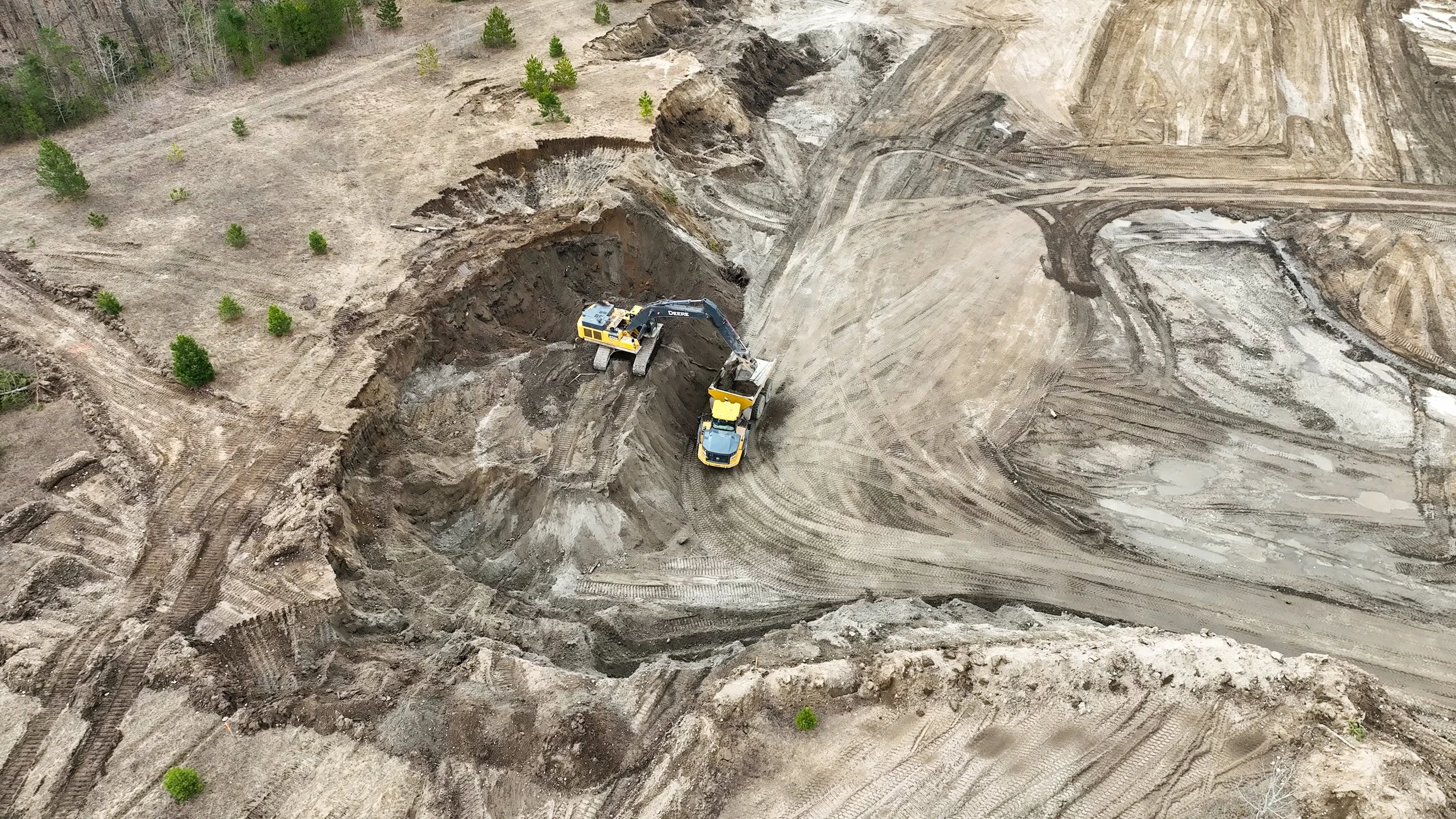
At Holland Productions, we provide reliable Construction Drone Services designed to enhance project efficiency, safety, and accuracy. Our drone technology delivers high resolution aerial data, same-day data collection and delivery, and precise site analysis, empowering construction teams to make informed decisions and streamline operations.
Drone Services for Construction

SITE MAPPING
High-resolution maps and 3D models for accurate site planning, logistics, and workflow optimization.

CHANGE DETECTION
Providing consistent aerial updates to track site progress, detect delays, and ensure compliance with project timelines.

EARTHWORKS & VOLUME MEASUREMENTS
Our drones offer detailed visual and thermal imaging, allowing safe and efficient assessments of buildings and infrastructure.

PROGRESS MONITORING & REPORTING
Providing routine aerial operations to track site progress, detect delays, and ensure compliance with project timelines.

MARKETING & PROMOTIONAL FOOTAGE
Capture high quality aerial images and video for client updates, investor presentations, and promotional campaigns.

INSPECTIONS
Accurate volumetric calculations for stockpiles, cut/fill analysis, and site grading to help manage materials efficiently.
Who We Work With
Construction Project Managers
Civil Engineers
Site Supervisors
Land Surveyors
Developers & Contractors

Why Use Drones for Construction?
Faster Data Collection
Gather site data in minutes instead of hours or days.
Cost Savings
Reduce manual labor, equipment rental, and survey costs.
Stakeholder Communication
Get rapid aerial insights to streamline communication with your team and clients.
Enhanced Safety
Minimize worker exposure to dangerous areas.
