
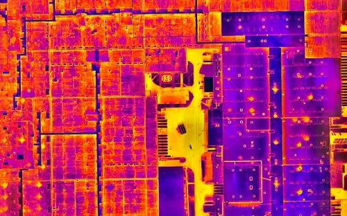
Precision Aerial Data, Mapping & Thermal Imaging
Professional drone services including aerial mapping, inspections, thermal imaging, and data processing for commercial and industrial clients across Southern Ontario.
Get a Free QuoteProfessional Drone Solutions
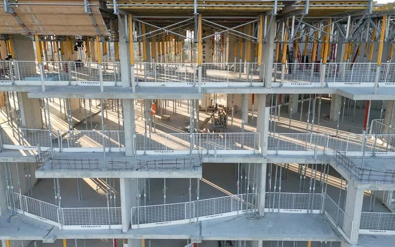
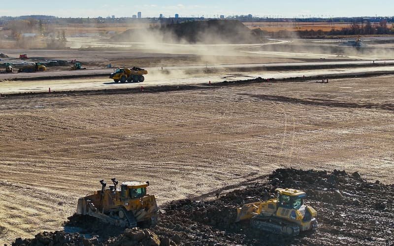
From inspections to mapping, we deliver precise aerial data that drives better decisions

What Our Clients Say
Andrea Paszana
2 days agoWe've been extremely pleased with the monthly photography and videography provided by Craig at Holland Productions. The consistency and quality of the work have been excellent, and the processing time is always fast.
Sandie Mac
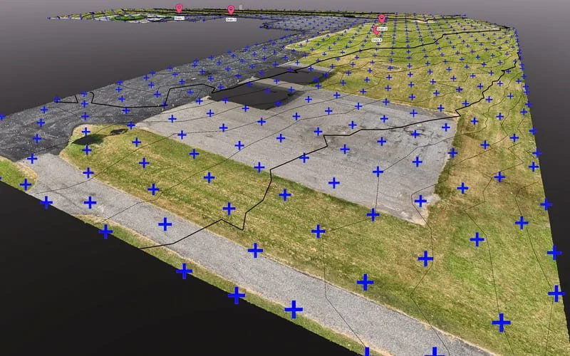
18 weeks agoWe had our property mapped by drone about a year ago. The scans worked out perfectly. Craig was wonderful to help us convert the detailed Recap files into several file versions to create a Revit Arch toposolid.
Martin Halle
20 weeks agoWe used Holland Productions for drone footage of large silos installations, on 2 sites, and we received excellent service. Craig was very professional and delivered everything quickly.
Fiorella Cunha
November 2024We partner with Holland Productions on every project that requires drone. Not only is their work excellent, they are patient and are awesome at executing our ideas. Highly recommend.
Popovich Associates
November 2024Craig represented the utmost in professionalism from initial contact to his detailed proposal identifying his suggested approach through to execution of the photography. Craig went over and above.

Let's Elevate Your Project
Professional drone services across Southern Ontario. From aerial mapping to thermal inspections, we deliver precise, actionable data for your commercial and industrial projects.
Get a Free Quote